

Listing Courtesy of:  PIKES PEAK / Coldwell Banker Realty / Rae Marie Heard
Unavailable Avenue Byers, CO 80103
Active (386 Days)
$264,000
37.54
ACRES
Description
MLS #:
7909957
7909957
Taxes
$86(2023)
$86(2023)
Lot Size
37.54 acres
37.54 acres
Type
Land
Land
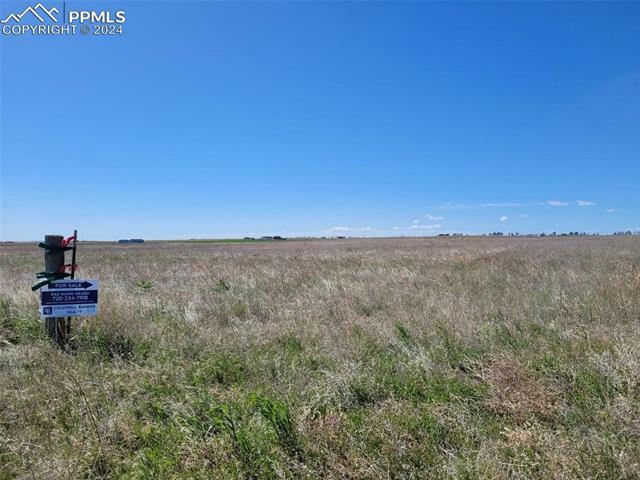
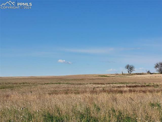
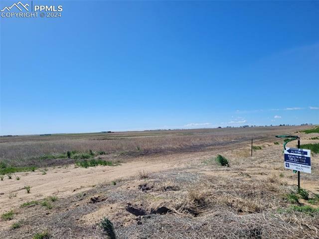
Views
Mountain View
Mountain View
School District
Byers 32J
Byers 32J
County
Arapahoe County
Arapahoe County
Listed By
Rae Marie Heard, Coldwell Banker Realty
Source
PIKES PEAK
Last checked Jun 8 2025 at 4:11 AM GMT+0000
PIKES PEAK
Last checked Jun 8 2025 at 4:11 AM GMT+0000
Bathroom Details
Lot Information
- Mountain View
Location
Disclaimer: The real estate listing information and related content displayed on this site is provided exclusively for consumers’ personal, non-commercial use and may not be used for any purpose other than to identify prospective properties consumers may be interested in purchasing. This information and related content is deemed reliable but is not guaranteed accurate by the © 2024 Pikes Peak REALTOR® Services Corp. Most recently updated as of 8/15/24 09:54.

Full legal description: "SECT, TWN, RNG 25-3-63 DESC: A PARC OF LAND SITUATE IN THE NW4 OF SEC 25 DESC AS FOLS COM AT THE NW COR OF SD SEC 25 TH S 00D 00M 06S E ALG THE W LN OF SD NW4 A DIST OF 40/01 FT TO A PT OF INTERSEC WITH THE S ROW LN OF E 38TH AVE SD PT BEING THE POB TH N 88D 35M 12S E ALG SD S ROW LN BEING A LN 40 FT S AND // WITH THE N LN OF SD SEC A DIST OF 900/35 FT TO THE NW COR OF A PARC OF LAND AS RECORDED UNDER REC NO 2017000054081 TH S 00D 01M 08S W ALG THE W LN OF THE AFORESAID PARC A DIST OF 1828/42 FT TO THE SW COR OF THE AFORESAID PARC TH N 90D 00M 00S W A DIST OF 899/42 FT TO A PT ON SD W LN OF THE NW4 TH N 00D 00M 06S W ALG SD W LN A DIST OF 1806/21 FT TO THE POB 37/5371A"